Thorong La Pass, Nepal: Complete Travel & Trekking Guide
By Nepal Trip Services On 22 Sep 2026

By Nepal Trip Services On 22 Sep 2026
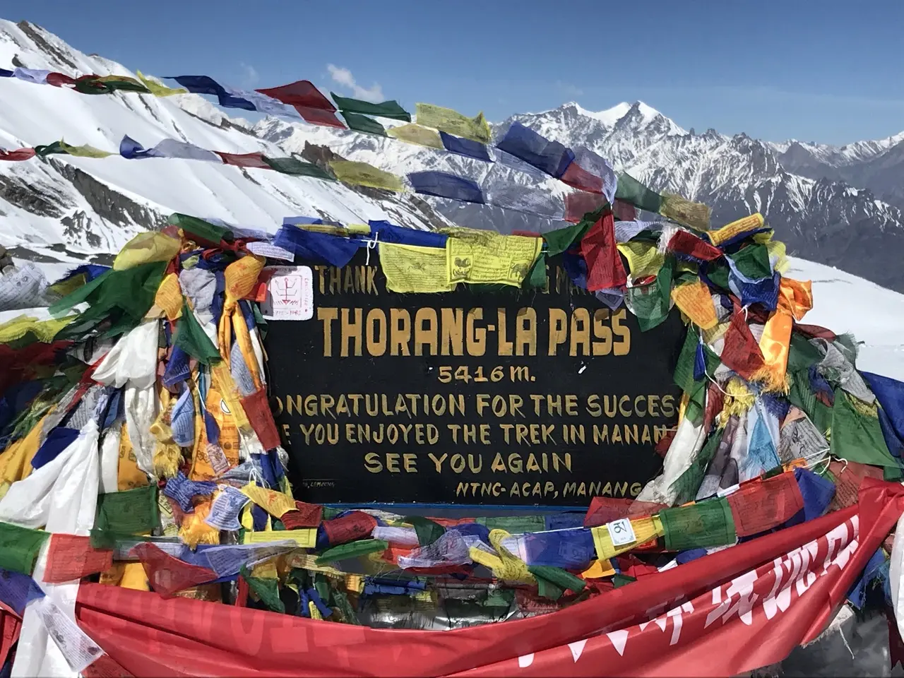
Every trekker attempting the Annapurna Circuit Trek eventually arrives at the same defining question: what does it actually take to cross Thorong La Pass? For many, it exists as little more than a name on a map until the days leading up to it, when the reality sets in — a genuine physical undertaking involving 7 to 8 hours of trekking at altitudes where the air holds roughly half the oxygen found at sea level, tackled in freezing pre-dawn temperatures with strong winds that build steadily through the morning. This complete guide covers everything you need to know about the crown jewel of the Annapurna Circuit — altitude, difficulty, route, weather, preparation, and safety, including which direction to cross for safer acclimatization, how early you genuinely need to start, and what happens if weather turns mid-crossing — replacing uncertainty with a clear, honest picture of exactly what to expect on the most demanding, and most rewarding, day of the entire trek.
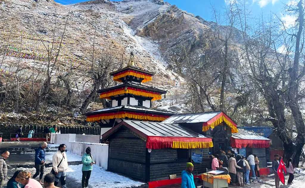
Thorong La (also spelled Thorung La) is a mountain pass in the Damodar Himal, north of the Annapurna Himal, in central Nepal. It connects the village of Manang to the east with the sacred temple of Muktinath and the village of Ranipauwa to the west, serving as the highest point on the entire Annapurna Circuit — a route spanning roughly 160–230 kilometers around the Annapurna massif.
| Detail | Information |
|---|---|
| Altitude | 5,416m/17,769ft |
| Location | Damodar Himal, central Nepal |
| Coordinates | 28°47′36″N 83°56′20″E |
| Connects | Manang (east) to Muktinath (west) |
| Route | Highest point on the Annapurna Circuit |
| Surrounding Peaks | Thorong Ri, Khatung Kang, Yakawa Kang |
At 5,416 meters (17,769 feet), Thorong La is one of the highest trekking passes in the world, higher even than Larkya La on the Manaslu Circuit (5,160m) and comparable in altitude to Kala Patthar on the Everest Base Camp Trek (5,550m). At this elevation, oxygen levels are roughly half of what they are at sea level, making proper acclimatization absolutely essential before attempting the crossing.
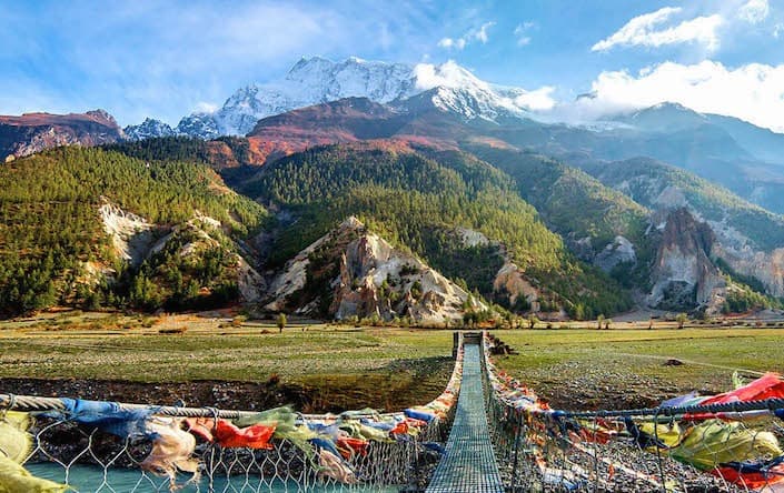
The pass sits in the Damodar Himal range, formed on the slopes of Thorong Ri, with Khatung Kang and Yakawa Kang forming the surrounding terrain. It marks the geographic and cultural boundary between the lush Manang Valley to the east and the arid, Tibetan-influenced Mustang region to the west — a dramatic transition trekkers experience firsthand as they cross from one side to the other.
Most trekkers cross from east to west (Manang to Muktinath), widely regarded as the easier and safer direction due to more gradual acclimatization opportunities along the approach.
| Route Segment | Altitude | Trekking Time |
|---|---|---|
| Manang to Yak Kharka | 4,050m | ~4–5 hours |
| Yak Kharka to Thorong Phedi | 4,540m | ~3–4 hours |
| Thorong Phedi to Thorong La to Muktinath | 5,416m → 3,800m | 7–8 hours |
Most trekkers begin the ascent very early, typically between 3:00 and 5:00 AM, to avoid strong afternoon winds and reach the summit while conditions remain calmer. The full crossing day — from Thorong Phedi or High Camp to Muktinath — generally takes 7 to 8 hours, broken down roughly as:
Weather conditions vary significantly by season and can shift unpredictably at this altitude.
| Season | Conditions | Recommendation |
|---|---|---|
| Spring (Mar–May) | Mild daytime highs (5–12°C), generally stable | Best and safest season |
| Autumn (Sep–Nov) | Stable, clear skies, mild temperatures | Equally excellent choice |
| Winter (Dec–Feb) | Temperatures dropping to -20°C, heavy snow risk | High risk of pass closure |
| Monsoon (Jun–Aug) | Poor visibility, unstable conditions | Not recommended |
Outside the safest windows of March–May and September–November, conditions can deteriorate rapidly with avalanches, snowstorms, frostbite risk, and frequent whiteouts.
Crossing Thorong La is non-technical but physically intense, rated moderate to challenging overall. Key difficulty factors include:
Proper preparation genuinely determines whether crossing day feels manageable or overwhelming:
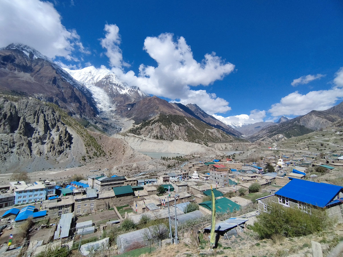
Thorong La Pass represents the dramatic centerpiece of the broader Annapurna Circuit Trek, a 13–18 day journey encircling the Annapurna massif. The full circuit typically begins with a drive from Kathmandu to Besisahar or Jagat, ascending gradually through the Marsyangdi Valley, past Gurung and Manangi villages, before reaching Manang for acclimatization. From there, the trail climbs toward Thorong La before descending into the arid, Tibetan-influenced Mustang region and the sacred pilgrimage site of Muktinath, finally continuing toward Jomsom or looping back through Tatopani and Ghorepani.
| Detail | Information |
|---|---|
| Total Circuit Distance | 160–230 km |
| Duration | 13–18 days |
| Difficulty | Moderate |
| Best Season | March–May, September–November |
| Accommodation | Teahouses throughout |
Thorong La Pass sits at 5,416 meters (17,769 feet), making it the highest point on the entire Annapurna Circuit and one of the highest trekking passes in the world.
The pass is located in the Damodar Himal, north of the Annapurna Himal in central Nepal, connecting the village of Manang to the east with the sacred temple of Muktinath to the west.
Most trekkers cross from east to west (Manang to Muktinath), widely considered the easier and safer direction, since it offers more gradual acclimatization along the approach compared to crossing west to east.
The full crossing day, typically from Thorong Phedi or High Camp to Muktinath, takes approximately 7 to 8 hours, including both the ascent to the summit and the long descent on the other side.
Most trekkers depart between 3:00 and 5:00 AM to avoid strong afternoon winds and reach the summit while conditions remain calmer and more predictable.
The crossing is rated moderate to challenging, and while non-technical, it's genuinely physically intense due to high altitude, rugged terrain, cold temperatures, and the sustained length of the trekking day.
Spring (March to May) and autumn (September to November) offer the safest and most stable conditions, with mild daytime temperatures and clearer skies compared to winter or monsoon season.
It's possible but genuinely risky, since winter temperatures can drop to -20°C with a high risk of heavy snowfall, avalanches, and pass closures during December through February.
Essential gear includes a warm down jacket, insulated gloves, thermal layers, sturdy trekking boots, trekking poles, and a headlamp for the early pre-dawn departure.
Most itineraries recommend spending 2 to 5 nights in Manang (3,540m) before attempting the pass, allowing the body sufficient time to adjust to the significant altitude gain ahead.
Trekkers typically pass through Yak Kharka (4,050m) and either Thorong Phedi (4,540m) or High Camp (4,880m) before making the final push to the pass itself.
Yes, given the pass's extreme altitude of 5,416 meters, Acute Mountain Sickness (AMS) remains a genuine risk, making proper acclimatization, hydration, and pacing essential throughout the approach.
If conditions deteriorate, guides typically recommend delaying the crossing by a day rather than risking dangerous whiteouts or strong winds, even if it means an extra night at Thorong Phedi or High Camp.
At 5,416m, Thorong La is higher than Larkya La Pass on the Manaslu Circuit (5,160m) and comparable in altitude to Kala Patthar on the Everest Base Camp Trek (5,550m), though it involves a notably longer single crossing day.
While not always legally mandatory depending on current regulations, hiring a licensed guide is strongly recommended given the pass's remoteness, altitude, and unpredictable weather, ensuring proper pacing and safety throughout the crossing.
Thorong La Pass represents everything that makes the Annapurna Circuit Trek — and the broader Annapurna region — genuinely special: a demanding, high-altitude challenge rewarded with dramatic Himalayan scenery and a profound sense of accomplishment. With proper acclimatization in Manang, the right cold-weather gear, an early start, and trust in your guide's judgment, well-prepared trekkers can successfully cross this legendary pass and complete one of the Annapurna region's most iconic long-distance treks.
Discover more articles that match your interests! Explore these similar blogs packed with insights, tips, and stories to keep you inspired.
Complete guide on how to prepare for the Annapurna Circuit Trek — training, gear, permits, insurance & mental readines...
Discover Besisahar, Nepal — the official gateway to the Annapurna Circuit Trek. Complete guide to altitude, history & ...
Discover the Marsyangdi River — the Annapurna Circuit\'s raging river. Complete guide to its geography, origins & trek...
Discover Manang, Nepal — Annapurna Circuit\\'s key acclimatization village with monasteries, glacial lakes & Thorong L...
Explore Manangi culture in Nepal — Tibetan Buddhist heritage, trans-Himalayan trading history & unique lifestyle of th...
Discover Muktinath, Nepal\'s sacred Hindu-Buddhist pilgrimage site — temple history, Thorong La Pass access & travel t...