Thak Khola Region, Nepal: Complete Travel & Cultural Guide
By Nepal Trip Services On 25 Sep 2026

By Nepal Trip Services On 25 Sep 2026
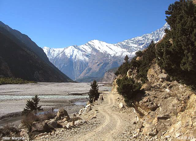
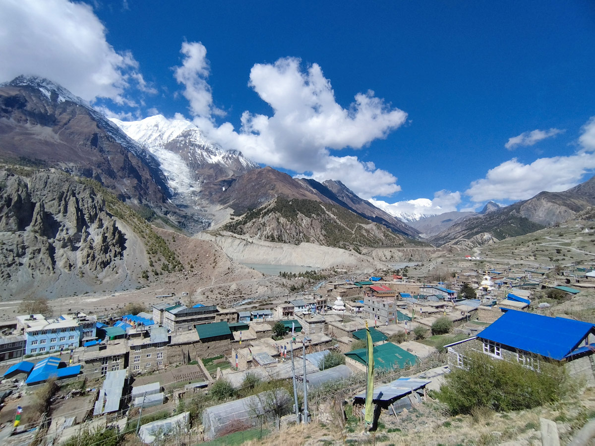
Stretching along the upper reaches of the Kali Gandaki Gorge, the Thak Khola region is one of the most culturally rich and geographically dramatic corridors in the Nepalese Himalayas. Home to the Thakali people, framed by the towering peaks of Dhaulagiri and Annapurna, and shaped by centuries of trans-Himalayan trade, Thak Khola offers travelers a rare combination of natural wonder and living heritage. For anyone trekking the Annapurna Circuit Trek, this region forms one of the most memorable and culturally significant stretches of the entire journey. This complete guide explores everything you need to know about Thak Khola's geography, history, villages, and practical travel information.
Thak Khola refers to the upper section of the Kali Gandaki Gorge, located in the Mustang District of Gandaki Province, Nepal. The name combines "Thak," referring to the Thakali people native to the area, and "Khola," the Nepali word for river or stream, reflecting the region's deep connection to the Kali Gandaki River that flows through it. Geographically, Thak Khola sits between the massive peaks of Dhaulagiri to the west and Annapurna to the east, placing it within one of the most dramatic mountain landscapes on Earth.
| Feature | Details |
|---|---|
| Location | Mustang District, Gandaki Province, Nepal |
| Meaning of Name | "Thak" (Thakali people) + "Khola" (river) |
| River | Kali Gandaki River |
| Flanking Peaks | Dhaulagiri (west), Annapurna (east) |
| Primary Ethnic Group | Thakali people |
| Key Villages | Marpha, Tukuche, Syang, Kobang, Larjung, Jomsom |
| Elevation Range | Approximately 2,500m to 2,800m across main villages |
| Historic Role | Trans-Himalayan trade corridor between Tibet and India |
For centuries, Thak Khola functioned as one of the most important trade corridors in the Himalayas, connecting Tibet to the lowlands of Nepal and India. This strategic position shaped nearly every aspect of local life and culture:
As trade patterns shifted throughout the 20th century, particularly following geopolitical changes affecting cross-border commerce with Tibet, many Thak Khola communities adapted by turning toward agriculture, hospitality, and eventually the tourism industry that now sustains much of the region.
Thak Khola's dramatic geography plays a defining role in both its climate and cultural development:
Each village within the Thak Khola region offers a distinct glimpse into Thakali culture and daily life:
| Village | Notable Features |
|---|---|
| Marpha | Famous for apple orchards, whitewashed houses, and spotless streets |
| Tukuche | Historic trading town with strong Thakali cultural roots |
| Syang | Smaller village known for traditional architecture and quiet atmosphere |
| Kobang | Agricultural village reflecting classic Thak Khola building styles |
| Larjung | Offers close-up views of Dhaulagiri and traditional stone housing |
| Jomsom | Regional administrative and transport hub with flight access |
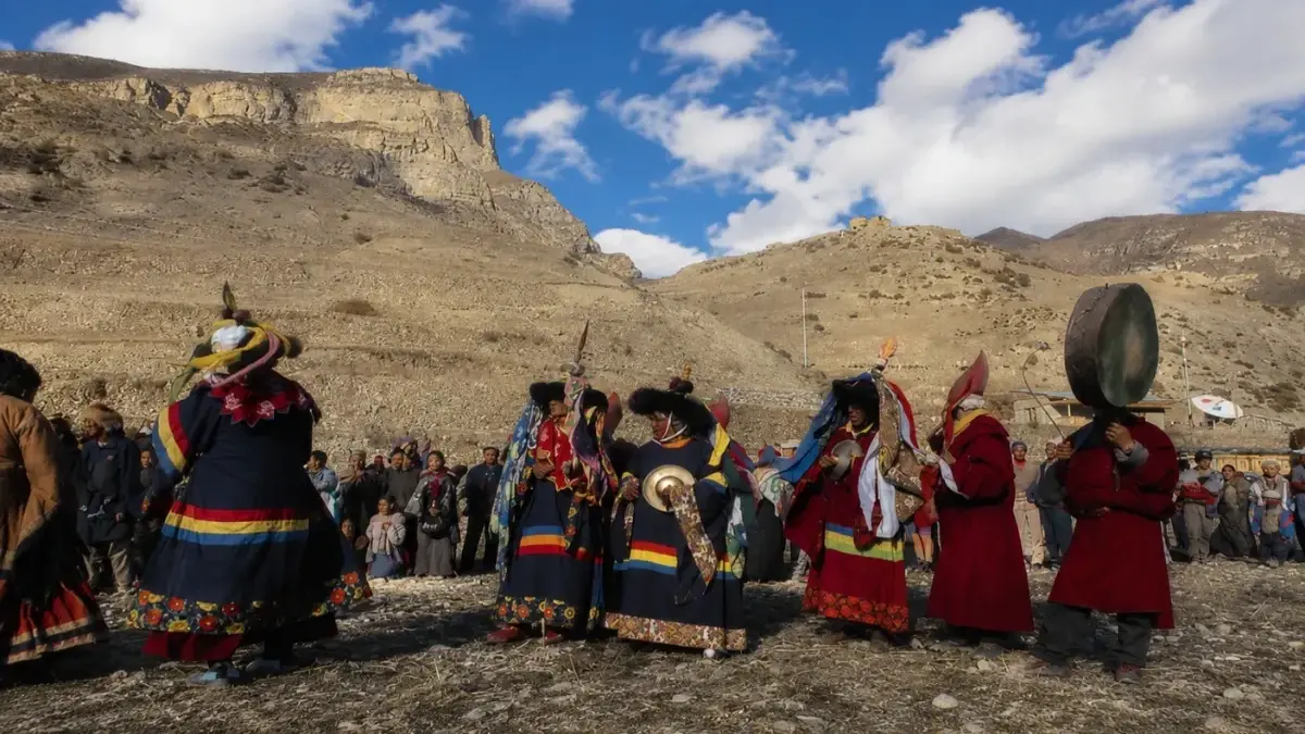
The Thakali people, native to this region, have cultivated a rich cultural identity shaped by trade, geography, and spiritual diversity. Key cultural elements include:
Thak Khola forms a central portion of one of Nepal's most celebrated long-distance trekking routes, making it accessible to travelers with varying amounts of time and experience.
| Season | Months | Conditions |
|---|---|---|
| Spring | March – May | Mild temperatures, blooming apple orchards, good visibility |
| Autumn | September – November | Clearest skies, peak harvest season, most popular time to visit |
| Winter | December – February | Cold temperatures, occasional snow at higher points |
| Monsoon | June – August | Notably drier than southern Nepal due to rain shadow effect |
Autumn stands out as an especially rewarding time to visit, coinciding with both ideal trekking weather and the apple harvest in villages like Marpha.
Travelers exploring Thak Khola as part of a broader Annapurna region itinerary need the following permits:
Both permits can be arranged in Kathmandu or Pokhara and are checked at various points along the trekking route.
| Factor | Thak Khola | Manang Valley | Lower Annapurna Foothills |
|---|---|---|---|
| Climate | Dry, semi-arid (rain shadow) | Dry, high-altitude | Lush, subtropical |
| Primary Ethnic Group | Thakali | Manangi | Gurung and mixed communities |
| Elevation | ~2,500m–2,800m | ~3,500m | Below 2,000m |
| Known For | Trade heritage, apple orchards, Thakali cuisine | Acclimatization stop, monasteries | Rhododendron forests, terraced farms |
Thak Khola refers to the upper section of the Kali Gandaki Gorge, located in the Mustang District of Gandaki Province, Nepal. It sits between the towering peaks of Dhaulagiri to the west and Annapurna to the east, placing it within one of the most dramatic mountain landscapes in the Himalayas.
The name combines "Thak," referring to the Thakali people native to the area, and "Khola," the Nepali word for river or stream. Together, the name reflects the region's deep connection to the Kali Gandaki River, which flows directly through the heart of Thak Khola.
The Thakali people are the primary ethnic group native to Thak Khola, having developed a distinct cultural identity shaped by centuries of trans-Himalayan trade along this strategic corridor. Their influence is visible throughout the region's architecture, cuisine, and religious traditions.
For centuries, Thak Khola functioned as a vital corridor connecting Tibet to the lowlands of Nepal and India, with caravans moving salt, wool, grain, and textiles across the region long before modern transportation existed. This trading heritage brought significant prosperity to Thakali communities and shaped much of the region's cultural development.
| Village | Notable Features |
|---|---|
| Marpha | Apple orchards, whitewashed houses, spotless streets |
| Tukuche | Historic trading town with strong Thakali roots |
| Syang | Traditional architecture, quiet atmosphere |
| Kobang | Agricultural village, classic building styles |
| Larjung | Close-up Dhaulagiri views, traditional housing |
| Jomsom | Transport hub with flight access |
Thak Khola reflects a unique blend of Tibetan Buddhism, the older Bon tradition, and Hindu influences absorbed through centuries of trading connections with lowland Nepal. This religious diversity is visible in local monasteries, festivals, and daily spiritual practices throughout the region's villages.
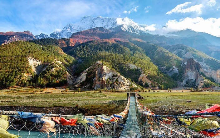
Thak Khola sits within a rain shadow created by the surrounding Himalayan peaks, meaning it receives significantly less monsoon rainfall than areas to the south. This results in a semi-arid landscape with dry, rocky terrain that looks strikingly different from the lush greenery found in lower Annapurna region villages.
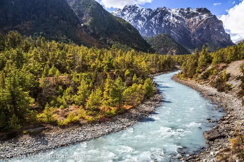
Thak Khola forms the upper portion of the Kali Gandaki Gorge, one of the deepest gorges in the world when measured by the elevation difference between the river and the surrounding peaks. The gorge's dramatic depth and the region's cultural identity are closely intertwined, both shaped by the same geological and historical forces.
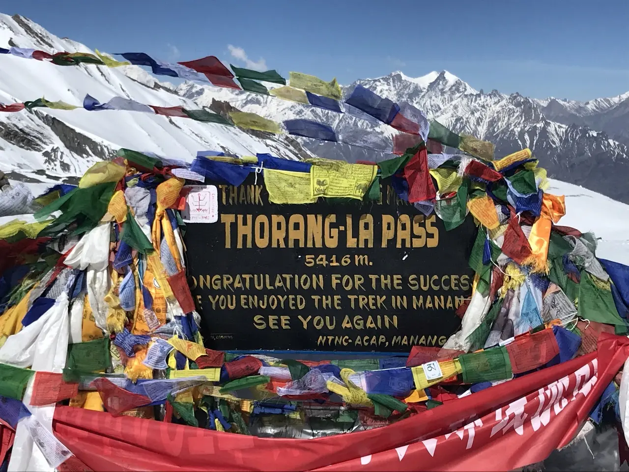
Yes, Thak Khola forms a central portion of the Annapurna Circuit Trek, typically visited after trekkers cross Thorong La Pass and descend through Muktinath into villages like Jomsom, Marpha, and Tukuche. It's considered one of the most culturally rich stretches of the entire route.
Yes, travelers can fly directly to Jomsom from Pokhara and explore nearby Thak Khola villages on foot with minimal trekking commitment. Some itineraries also focus specifically on the Kali Gandaki Gorge and Thak Khola region without completing the entire circuit trek.
Thakali cuisine, famous throughout Nepal, centers around the Thakali thali, a traditional meal set featuring rice, lentils, vegetable curries, and pickles. Villages throughout Thak Khola, particularly Marpha and Tukuche, offer authentic versions of this dish at local guesthouses and restaurants.
| Season | Months | Conditions |
|---|---|---|
| Spring | March – May | Mild temperatures, blooming orchards |
| Autumn | September – November | Clearest skies, peak harvest season |
| Winter | December – February | Cold, occasional snow |
| Monsoon | June – August | Notably drier due to rain shadow |
Autumn is especially rewarding, coinciding with both ideal trekking weather and the apple harvest in Marpha.
Travelers need an Annapurna Conservation Area Permit (ACAP) and a Trekkers' Information Management System (TIMS) card, both of which can be arranged in Kathmandu or Pokhara. These permits are checked at various points along the trekking route through the region.
Thak Khola features a dry, semi-arid climate and Thakali culture, while the Manang Valley, though similarly dry, is home to the distinct Manangi people and serves primarily as an acclimatization stop before Thorong La Pass. Both regions share a rain shadow climate but differ significantly in ethnic identity and cultural traditions.
Thak Khola offers far more than a transit corridor — it provides genuine insight into Thakali trading heritage, distinctive architecture, and celebrated cuisine that has influenced food culture across all of Nepal. Taking time to explore villages like Marpha and Tukuche transforms a simple walk through the region into a meaningful cultural experience within the broader journey of the Annapurna Circuit Trek.
The Thak Khola region stands as one of the most culturally and geographically compelling stretches of the entire Annapurna area, offering travelers a rare combination of dramatic Himalayan scenery and centuries-old Thakali heritage. From the apple orchards of Marpha to the historic trading streets of Tukuche, this region tells a story of resilience, adaptation, and cultural richness shaped by its position along one of the world's oldest trade routes. For those journeying through this remarkable landscape, exploring Thak Khola adds a deeply meaningful cultural dimension to the broader adventure of the Annapurna Circuit Trek.
Discover more articles that match your interests! Explore these similar blogs packed with insights, tips, and stories to keep you inspired.
Everything on Thorong La Pass — altitude, difficulty, weather, route & crossing times. Complete guide for the Annapurn...
Complete guide on how to prepare for the Annapurna Circuit Trek — training, gear, permits, insurance & mental readines...
Discover Besisahar, Nepal — the official gateway to the Annapurna Circuit Trek. Complete guide to altitude, history & ...
Discover the Marsyangdi River — the Annapurna Circuit\'s raging river. Complete guide to its geography, origins & trek...
Discover Manang, Nepal — Annapurna Circuit\\'s key acclimatization village with monasteries, glacial lakes & Thorong L...
Explore Manangi culture in Nepal — Tibetan Buddhist heritage, trans-Himalayan trading history & unique lifestyle of th...