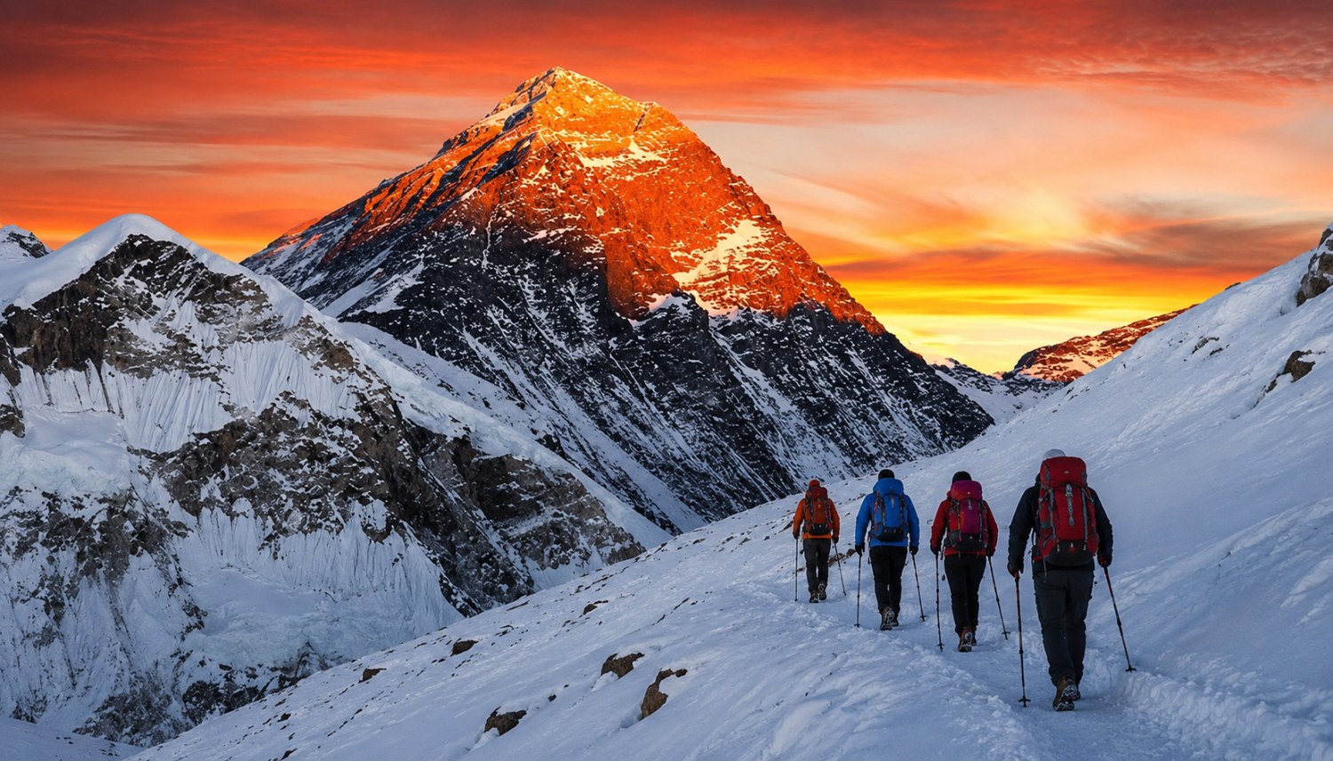
Dingboche, Nepal: Complete Travel & Trekking Guide
By Nepal Trip Services On 22 Sep 2026

By Nepal Trip Services On 22 Sep 2026
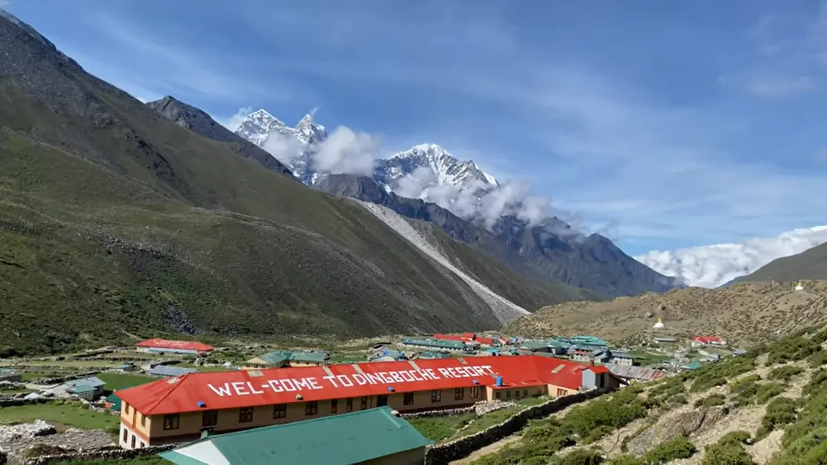
Tucked within the Imja Valley beneath the shadow of Ama Dablam and Lhotse, Dingboche is where the Classic Everest Base Camp Trek truly starts to feel serious — a peaceful, stone-walled village that serves as the trek's second and final dedicated acclimatization stop. Sitting at 4,410 meters in a broad, sun-drenched valley, this small Sherpa settlement of roughly 200 residents offers a sheltered, sunnier alternative to nearby Pheriche, its patchwork of stone-enclosed fields and fluttering prayer flags framed by sweeping views of Ama Dablam, Nuptse, and Lhotse. This complete guide covers everything you need to know about this essential Sherpa settlement, from its geography and significance to practical trekking information, helping you make the most of this critical rest stop before the trail pushes toward Lobuche and Everest Base Camp itself.
Dingboche sits at 4,410 meters (14,470 feet) in the Imja Valley within the Khumbu region of northeastern Nepal, positioned northeast of Namche Bazaar and directly east of Pheriche, nestled at the foot of Ama Dablam and Lhotse.
| Detail | Information |
|---|---|
| Altitude | 4,410m/14,470ft |
| Coordinates | 27°53′N, 86°49′E |
| District | Solukhumbu, Province No. 1 |
| Valley | Imja Khola/Chukhung Valley |
| Population | ~200 (2011 estimate) |
| From Tengboche | 9.1 km |
| From Lobuche | 8.4 km |
Dingboche serves as one of the most important acclimatization points on the entire Everest Base Camp route, giving trekkers' bodies essential time to adjust before pushing toward Lobuche, Gorak Shep, and eventually Base Camp itself.
Dingboche's position in a broad, open valley makes it less exposed to the icy winds that sweep down the Khumbu Valley, making it a genuinely more comfortable acclimatization stop compared to nearby Pheriche, which sits at a similar altitude but with less shelter.
One of Dingboche's most distinctive visual features is its network of stone walls, built from stones cleared while plowing the land and stacked to form kilometers of boundaries across the Imja Valley — a defining image most trekkers photograph extensively.
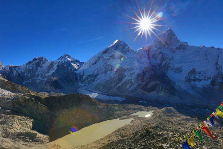
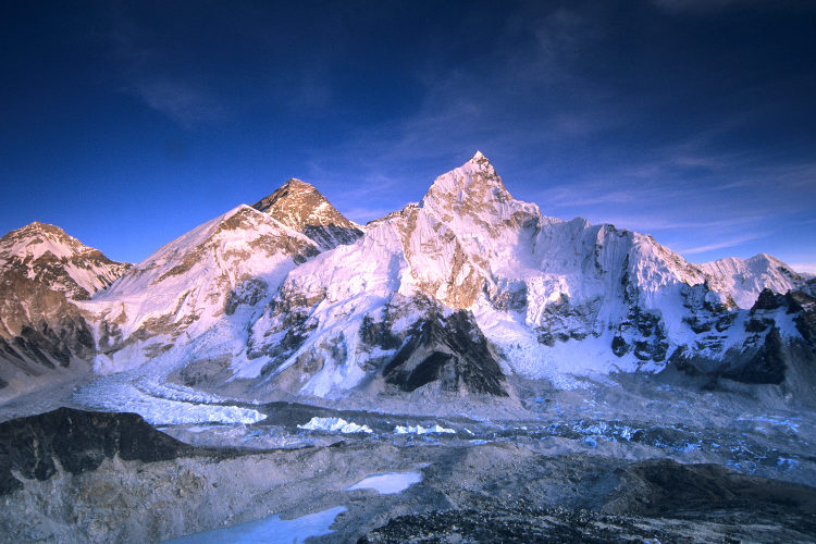
From Dingboche, trekkers enjoy stunning views of Ama Dablam, Nuptse, Thamserku, Kangtega, and Lhotse, with Mount Everest itself visible from nearby viewpoints.
Hike Nangkartshang Viewpoint (5,100m) — The most popular acclimatization hike from Dingboche, offering exceptional panoramic views of the surrounding Himalayan giants.
Explore Chukhung Valley — A worthwhile side route from Dingboche leading toward Chukhung, Chukhung Ri, and the Island Peak base area for trekkers seeking additional altitude exposure.
Walk Among the Stone-Walled Fields — Simply wandering the village's patchwork of stone-enclosed fields offers genuine insight into local Sherpa agricultural life.
Visit Small Gompas and Mani Walls — Prayer flags, mani walls, and small monasteries throughout the village reflect the deep spiritual traditions of the Sherpa community here.
Rest and Recover Properly — Given the trek's altitude gain, using this acclimatization day for genuine rest — alongside light activity — matters just as much as sightseeing.
| Season | Conditions | Recommendation |
|---|---|---|
| Spring (Mar–May) | Mild, good visibility | Excellent choice |
| Autumn (Sep–Nov) | Stable, clearest mountain views | Best overall season |
| Winter (Dec–Feb) | Cold but often clear | Quieter, budget-friendly |
| Monsoon (Jun–Aug) | Wet, poor visibility | Not recommended |
Dingboche can only be reached on foot, as there are no roads leading to the village — only trekking trails used by yaks and mules to haul goods.
Dingboche's economy relies heavily on tourism, with lodges and teahouses comprising most of the village's infrastructure, including:
Dingboche sits at 4,410 meters (14,470 feet) in the Imja Valley within the Khumbu region of northeastern Nepal, positioned northeast of Namche Bazaar and directly east of Pheriche, at the foot of Ama Dablam and Lhotse.
Dingboche serves as the trek's second and final dedicated acclimatization stop, giving trekkers' bodies essential time to adjust to the significant altitude gain before pushing toward Lobuche, Gorak Shep, and Everest Base Camp.
Dingboche has an estimated population of approximately 200 residents, whose livelihoods center primarily around yak herding and serving trekkers passing through the region.
Dingboche can only be reached on foot, as there are no roads to the village. Trekkers typically arrive from Tengboche via Pangboche, taking approximately 5–6 hours of trekking.
Dingboche's position in a broad, open valley makes it less exposed to the icy winds that sweep down the Khumbu Valley, offering a sheltered, sunnier alternative to nearby Pheriche despite similar altitude.
Dingboche is known for kilometers of stone walls built from stones cleared while plowing fields, stacked to form boundaries across the Imja Valley — one of the village's most distinctive and photographed features.
From Dingboche, trekkers enjoy stunning views of Ama Dablam, Nuptse, Thamserku, Kangtega, and Lhotse, with Mount Everest itself visible from nearby viewpoints.
Nangkartshang Viewpoint (5,100m) is the most popular acclimatization hike, offering exceptional panoramic views of the surrounding Himalayan giants before trekkers descend back to sleep at Dingboche's elevation.
Yes, a worthwhile side route from Dingboche leads toward Chukhung, Chukhung Ri, and the Island Peak base area, offering additional altitude exposure and even more dramatic close-up mountain views.
Spring (March–May) and autumn (September–November) offer the best conditions, with stable weather and the clearest mountain visibility throughout the year.
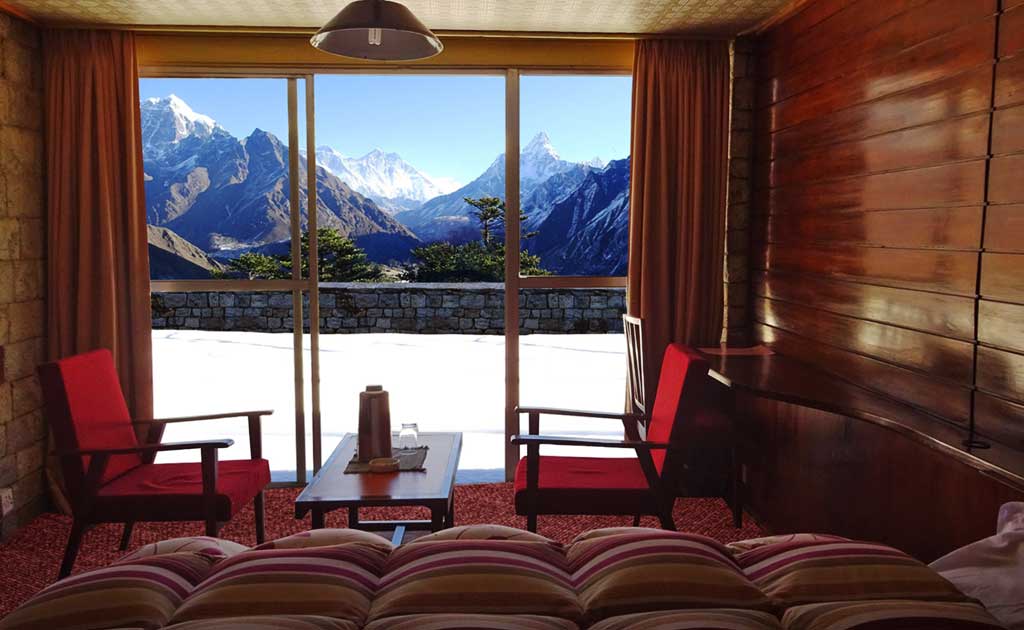
Dingboche's economy relies heavily on tourism, with comfortable teahouse lodges comprising most of the village's infrastructure, including basic but functional dining halls.
Yes, a helicopter landing pad is located near Moonlight Lodge, west of the Imja River, primarily used for emergency evacuations from this section of the trek.
Dingboche is located 9.1 kilometers from Tengboche Monastery and 8.4 kilometers from Lobuche, positioning it as a central waypoint on the Everest Base Camp route.
Both — while most trekkers use the day primarily for acclimatization hikes like Nangkartshang, Dingboche also offers genuine attractions including stone-walled fields, small gompas, and mani walls worth exploring.
Dingboche is located in the Solukhumbu District, within the Imja Khola (Chukhung) Valley, part of Nepal's Province No. 1 and Sagarmatha National Park.
Dingboche isn't simply a rest stop on the way to Everest Base Camp — it's a genuinely essential waypoint where trekkers' bodies prepare for the demanding altitudes ahead, set against one of the most photogenic landscapes in the entire Khumbu region. With its stone-walled fields, sheltered position, and spectacular mountain panoramas, Dingboche remains one of the most memorable and important stops on the entire journey.
Ready to experience Dingboche for yourself? Explore the complete Classic Everest Base Camp Trek itinerary with Nepal Trip Services and prepare for this essential stage of your journey to Everest Base Camp.
Discover more articles that match your interests! Explore these similar blogs packed with insights, tips, and stories to keep you inspired.
Everything on Classic Everest Base Camp Trek permits for 2026–2027 — costs, requirements, where to get them & recent...
Discover the best season for the Classic Everest Base Camp Trek. Compare autumn, spring, winter & monsoon weather, views...
Explore the Classic Everest Base Camp Trek itinerary with detailed day-by-day routes, altitudes, trekking hours & acclim...
Discover what you\\\'ll eat and where you\\'ll sleep on the Classic Everest Base Camp Trek. Complete guide to teahouses,...
Discover the full cost breakdown of the Classic Everest Base Camp Trek — permits, flights, guides, porters, meals & ac...
Is the Classic Everest Base Camp Trek hard? Complete guide to difficulty level, altitude challenges, fitness needs & tra...